
Navionics® Boating
Navionics® Boating is a robust marine navigation application that integrates high-resolution water depth data, official nautical charts, and daily updates onto mobile devices. Designed for boaters, anglers, and sailors, it provides essential tools including offline map access, interactive overlays, GPS tracking, route planning, weather updates, and tide information to support safe and organized voyages on oceans and rivers.
Screenshots
About this app
Comprehensive Nautical Charts and Marine Navigation
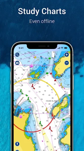
Navionics® Boating serves as a comprehensive marine navigation tool combining globally recognized high-resolution water depth data from nautical charts with official chart coverage. Users gain access to precise maritime maps for oceans and rivers worldwide, supported by built-in GPS for accurate location tracking. The application incorporates a simple and intuitive interface alongside customizable waypoints and route planning tools that help mariners organize and save their journeys efficiently.
Offline Access and Map Overlays
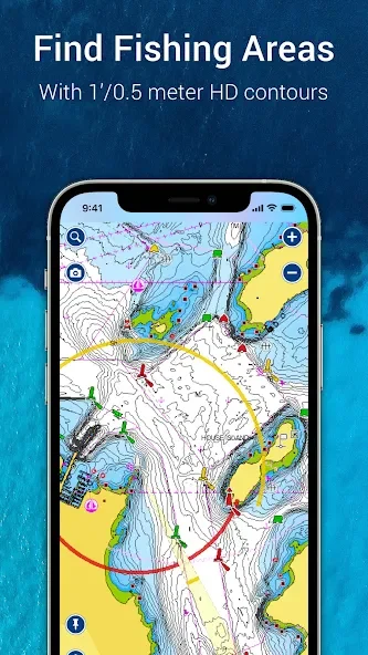
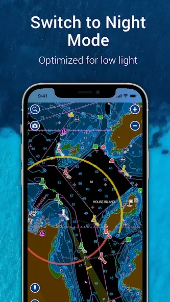
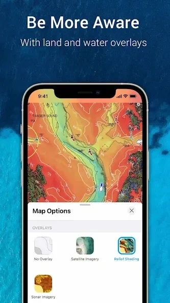
To support journeys in remote sea areas where cellular network coverage may be unavailable, the application allows users to download maps for offline use, ensuring continued access to navigation aids. Interactive overlays enhance visual interpretation by displaying detailed maps in satellite form alongside full depth information for seas and rivers using color-coded bathymetry and relief shading options.
Environmental Data and Daily Updates
The application integrates real-time weather conditions and up-to-date tide information to assist users in planning routes effectively and supporting safe sailing. Continuous support includes daily chart updates to maintain current maritime information, complemented by community-generated content and edits that contribute to enhanced local accuracy.
External Device Compatibility and Community Features
Boaters can connect with a large community of fellow water enthusiasts through community features, sharing locations and routes. Additionally, the application supports data transfer to compatible chartplotters, sonar equipment, and AIS receivers, bridging mobile planning with onboard shipboard tools.
Version history
View all13 Oct 2026 · stable
Frequently asked questions
What kind of environmental information does Navionics® Boating provide?
The application provides real-time weather conditions and up-to-date information on tides to help users plan their routes effectively.
Can I use Navionics® Boating without an internet connection?
Yes, the app supports offline map downloads, allowing you to access charts and navigation aids in areas without cellular network coverage.
What external hardware can sync with the application?
The application can sync with compatible chartplotters, sonar equipment, and AIS receivers, as well as transfer data directly to your chart plotter.
How often are the maritime charts updated?
Detailed information about maritime maps receives continuous daily updates to ensure maps and data remain current.